Geonics EM31 - Mark II w/GPS & Data Logging

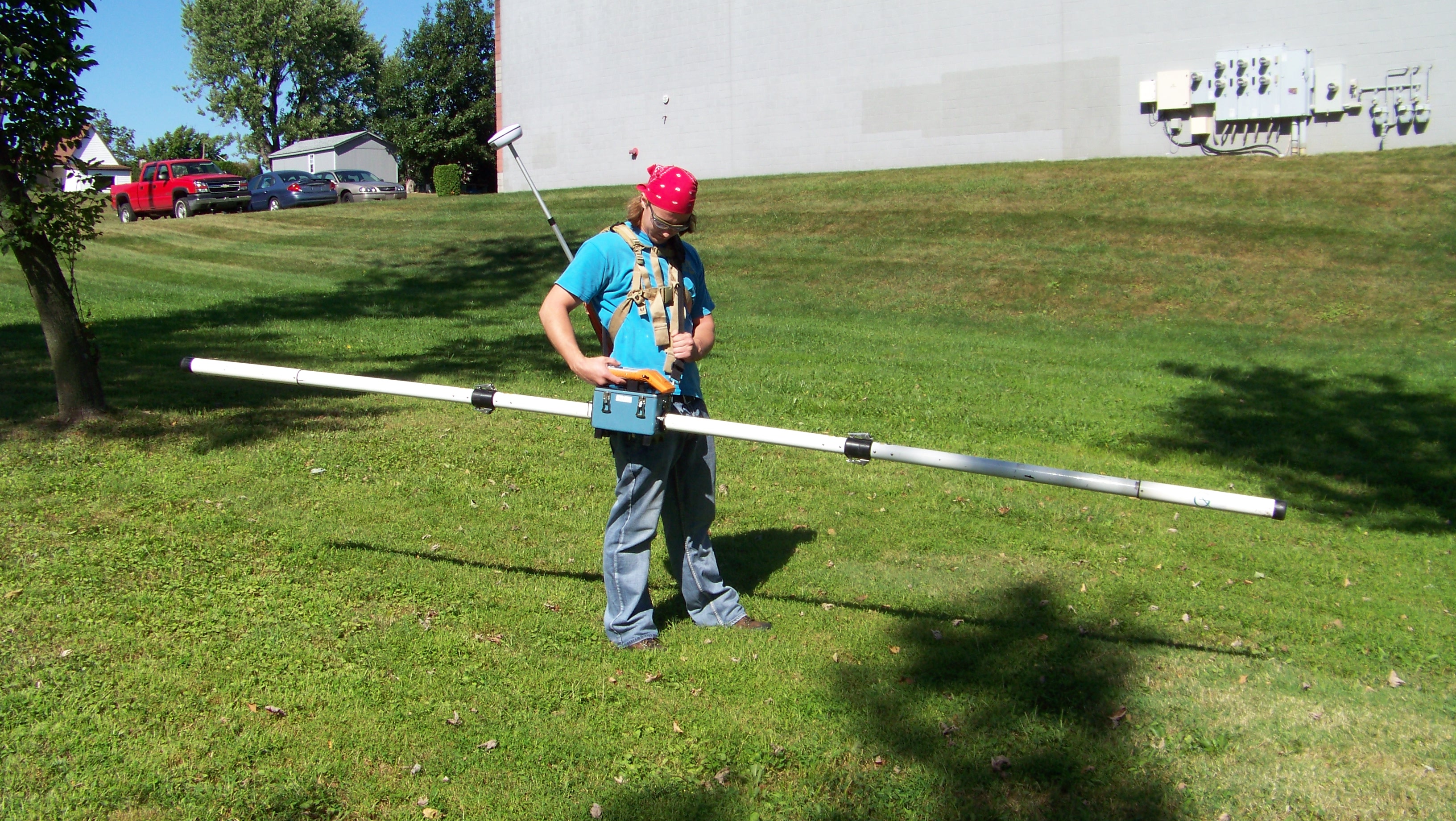
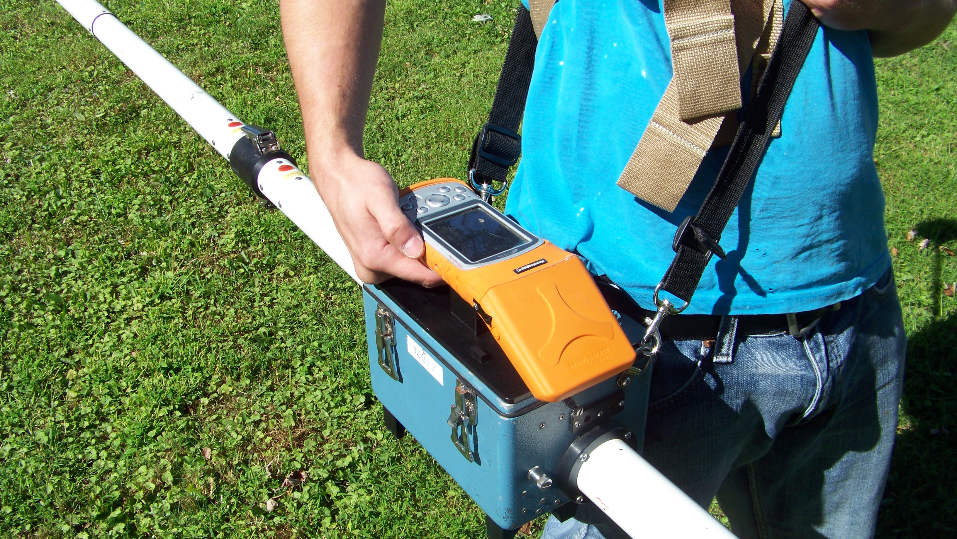

Our rental Geonics EM31 comes with a Mesa field PC and Geode GPS with Bluetooth antenna. The EM-31 MK2 is configured with the Archer Data Logger. The Mesa field PC with GPS mounts quickly to the EM-31 console and the external antenna connects to the Mesa tablet by Bluethooth and is carried in the supplied bakcpack making accurate data collection easy.
The Geonics EM-31 MK2 maps geologic variations, groundwater contaminants or any other subsurface feature associated with ground conductivity. The EM-31 uses electromagnetic inductive technique that allows measurements without ground contact. Surveys can be carries out under most geologic conditions including high surface resistivity conditions like sand, gravel, and asphalt. The effective depth of exploration is about six meters making the EM-31 MK2 ideal for geotechnical and environmetnal site characterization.
Our EM31 Sled is made with no metal to cause interference; sled has GPS antenna mount and comes with pull rope, only for pickups.
Benefits:
- Contamination Surveys
- Saline intrusion surveys
- Location of buried tanks and drums
- Mineral deposit surveys
- Datalogger and GPS included